The data that shapes our world: Leveraging geospatial data and AI for positive social impact
Abstract
Geospatial data − data that maps objects, events, processes, and other features to a specific location on the Earth's surface − are a powerful tool to understand the world around us. Many geospatial datasets, including satellite imagery, maps, weather station data, etc. are openly available, presenting a rich opportunity for impactful research work. Coupling advanced machine learning and artificial intelligence (AI) with open-sourced data enriches our understanding of large-scale datasets. In this talk, we will walk through how geospatial data analytics and AI come together ("GeoAI") to extract meaningful information and solve complex problems up to a global scale, and discuss exciting new developments and research directions in the space. We will also highlight some of our work at Thinking Machines that focus on GeoAI for social impact, including computer vision for detecting aquaculture intensification, and open-source poverty estimation models for Southeast Asia.
Downloads
Issue
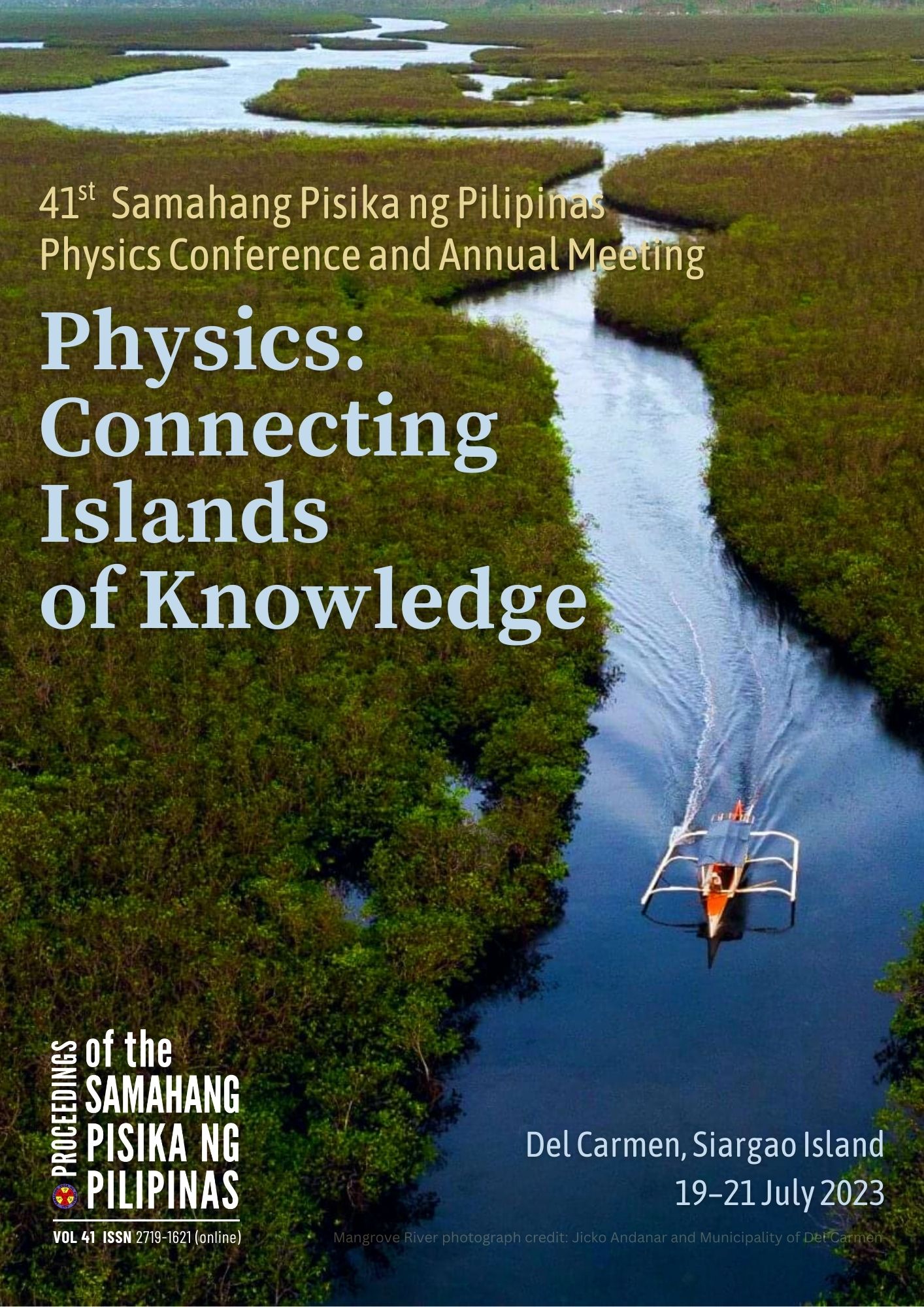
Physics: Connecting islands of knowledge
19-21 July 2023, Del Carmen, Siargao Island
Please visit the SPP2023 activity webpage for more information on this year's Physics Congress.


